Most apps show you a condition and never look back. We store every prediction we make, then check it against what actually happened on the ground — riders, trail crews, ground monitors, and satellites. This is the running scorecard, updated daily.
The verdict
Across every independent source that can catch us being wrong. We show the rate for each — including where we still fall short.
Proof in action
Not aggregate percentages — actual trails, where an independent source rode up and confirmed (or corrected) exactly what we said.
Checked from orbit
Every week we read the snow-line straight off Sentinel-2 imagery and compare it to our melt-out call for each high-alpine trail. Cloud-covered scenes count as “no observation” — never a guess.
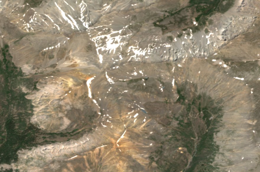
Sentinel-2 NDSI snow mapping, read directly over each trail’s footprint from the free Copernicus open-data archive.
Informational melt verification only — never avalanche or safety guidance.
Momentum
We’ve logged a condition read for hundreds of trails every single day since we started tracking. The more history accumulates, the harder this page is to argue with.
How we check
Live feed
The most recent checks, as they land — agreements and misses alike.
Coverage
Each hub, sized by how much independent verification it’s accumulated. Bright means confirmed; faint means we’re still gathering ground truth there — shown honestly.